We are seeing fantastic momentum across the region, with strong interest from landholders in improving land condition. Even better, clusters of neighbouring properties are getting involved, a promising sign for achieving landscape-scale change that supports water infiltration, soil health, and resilient groundcover.
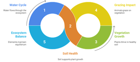
To help visualise this, Projects Lead Payel Sinha, developed a set of clever graphics that capture the essence of the NRRP program. The circular diagram below shows how water, soil, vegetation, grazing, and ecosystem balance are interconnected, all working together to support healthier landscapes.
Right now, our team is working closely with participants to develop agreements and monitoring plans. You’ll hear us talk about LCATs, the Land Condition Assessment Tool, an app we use across Queensland to track improvements in land condition.
We are proud to be engaging with Mardigan and Bidjara Nations, exploring how our program can support knowledge sharing and upskilling for First Nations involvement in natural resource management. Want to see what that looks like in action? Check out Mardigan’s plan we are supporting . We look forward to broadening engagement to support other Nations.
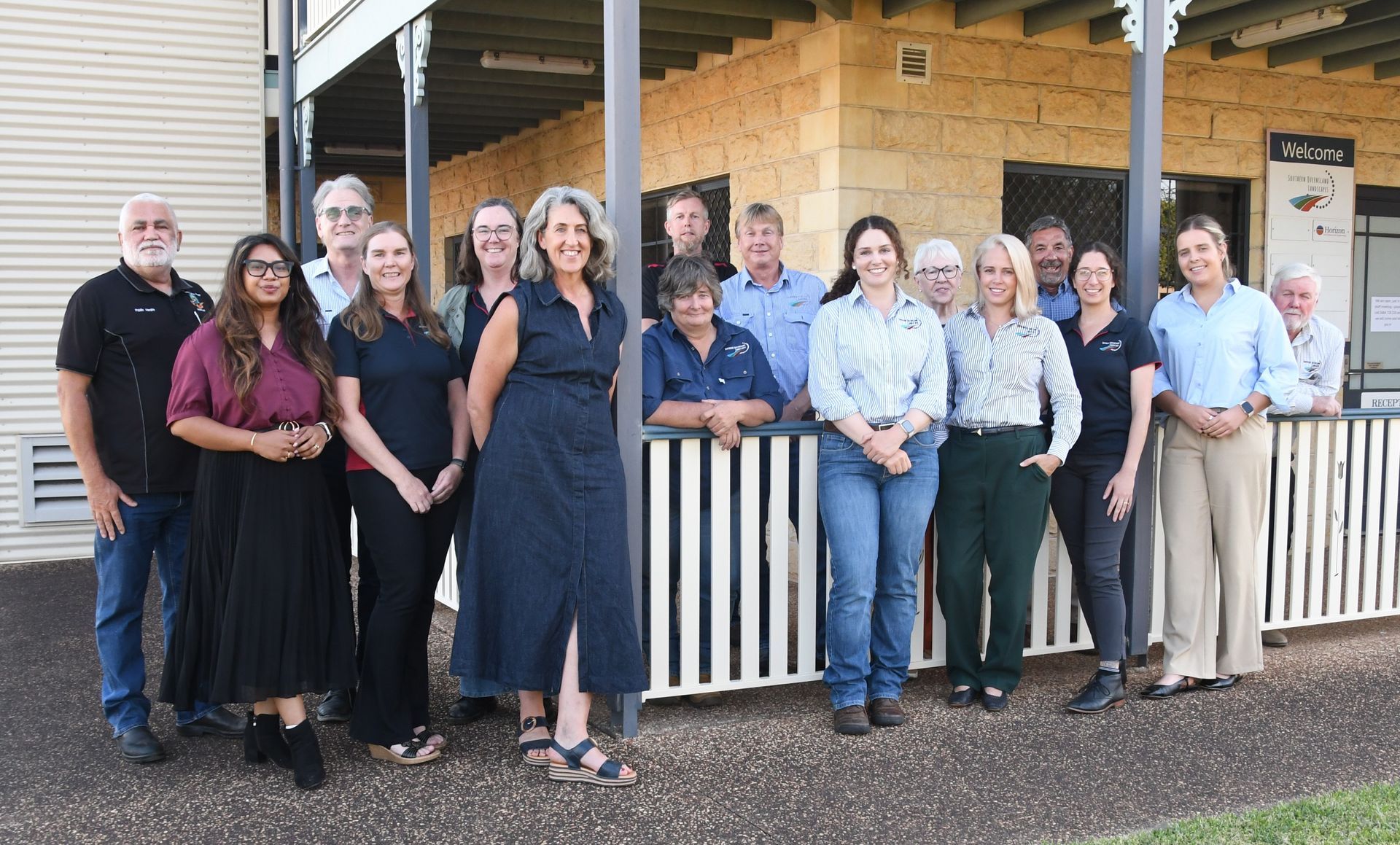
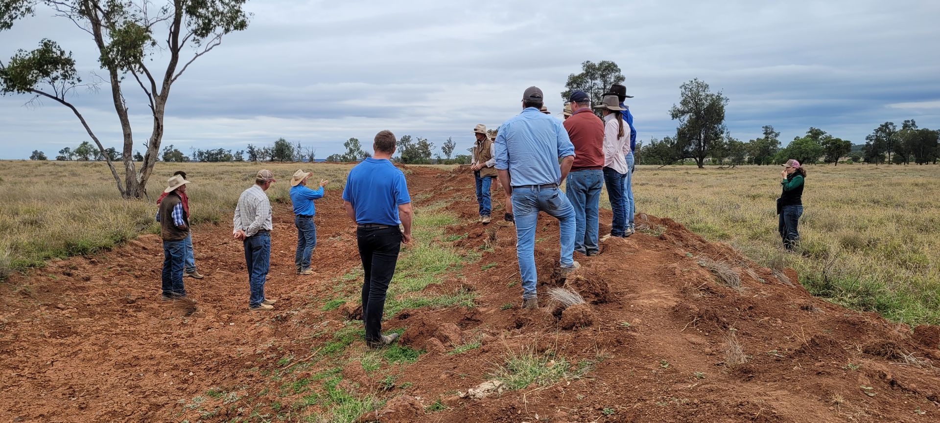
In May, we hosted a Landscape Restoration Day near Mungallala with 18 landholders. It was a fantastic day of on-site learning, mingling, and sharing ideas for improving property health. Let us know what kinds of events you would like to see in your area, as we are interested to support initiatives that matter most to you.
This project is funded by the Queensland Government's Natural Resources Recovery Program.